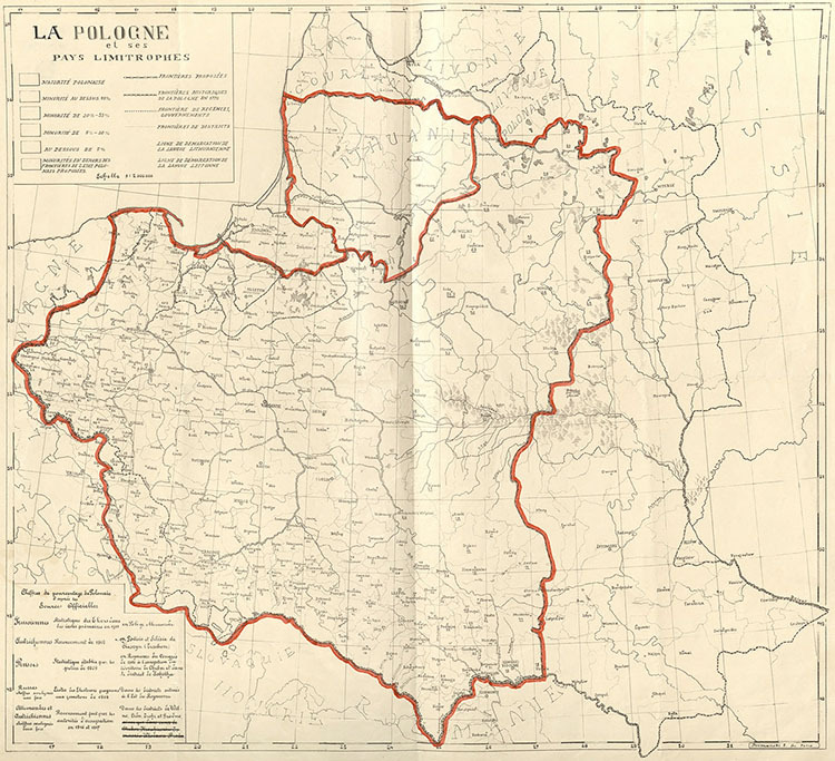
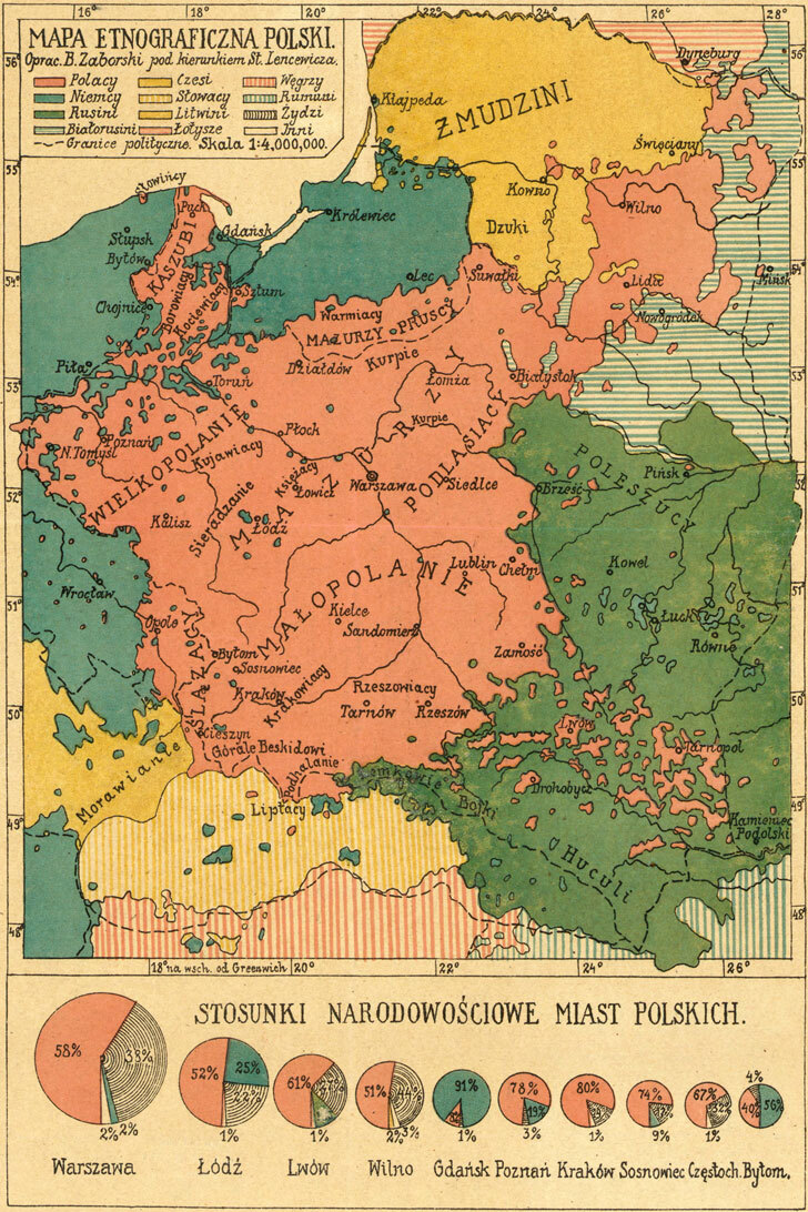
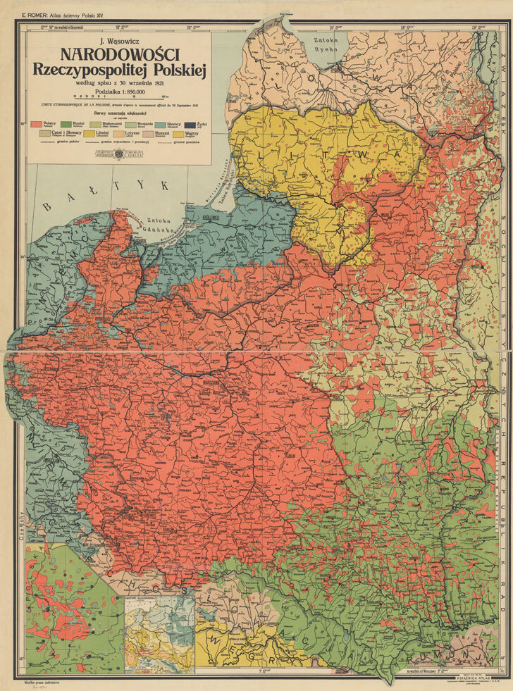
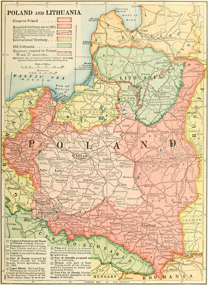
Source: Władysław Strzembosz, Les provinces polonaises de la Prusse, Paris, 1915.
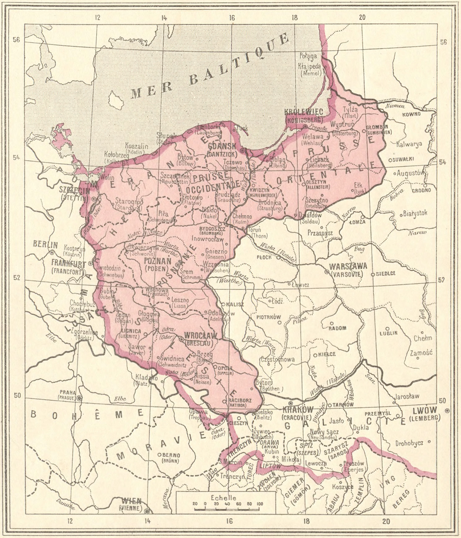
Published in the French capital during the height of the First World War, Les provinces polonaises de la Prusse (Paris, 1915), compiled and drawn by the Polish bibliographer and librarian Władysław Strzembosz, served as an influential geopolitical tool. Produced to support the tireless Western diplomatic crusade of Ignacy Jan Paderewski, this specialized map was designed to visually educate and sway Western public opinion, politicians, and policymakers regarding the historical and demographic reality of Polish lands under Prussian domination.
At a time when the "Polish Question" was re-emerging as a pivotal European issue, Paderewski spearheaded an intensive information campaign in Allied nations to rally support for the restoration of a sovereign, united Poland. Strzembosz’s cartographic work acted as a vital visual asset in this endeavor. By meticulously delineating the space of the Polish provinces held by Prussia/Germany, the map translated complex Eastern European territorial grievances into clear, persuasive visual arguments for French and Anglo-American audiences.
The publication bridged rigorous academic scholarship, rooted in Strzembosz’s deep expertise at the Polish Library in Paris, with high-stakes wartime propaganda. It provided diplomats and committee members with empirical backing, demonstrating that these regions possessed an undeniable Polish identity unjustly suppressed by the Hohenzollern empire. Ultimately, maps of this nature underpinned Paderewski's memoranda, laying crucial groundwork for the eventual reconstitution of the Polish state and the recovery of its access to the sea at the 1919 Paris Peace Conference.